Discover Wild America
Find the best dispersed camping spots, BLM land and outdoor activities on US public lands
Explore Map
Plan Your Next Road Trip
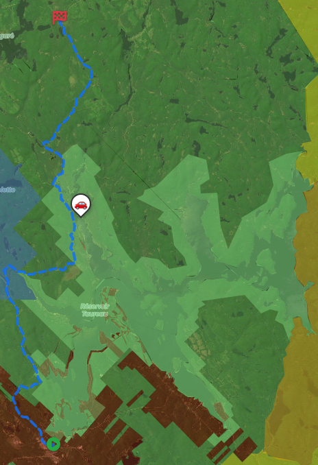
The Itinerary Planner lets you draw any route on the map, split it into segments, and instantly generate offline-ready geo-referenced PDF maps for every leg of your journey.
- Interactive route drawing — freehand or follow roads
- Geo-referenced PDF map for every segment
- Save & revisit your itineraries anytime
- Works offline in the backcountry
Subscriber-only feature — See plans
Download PDF
Generate geo-referenced PDF maps with your selected areas and custom markers for offline use.
Get unlimited downloads, private markers, ad-free experience and more with a subscription.
- Unlimited map downloads
- Private markers
- GPX/KML export
- No ads
- Cancel anytime
Free Camping
Discover thousands of free dispersed camping (boondocking) locations on BLM land and in national forests
Outdoor Activities
Hiking, fishing, hunting, kayaking, OHV trails and much more on US public lands
US Crown Land
US public lands managed by federal agencies — including the Bureau of Land Management (BLM), US Forest Service, National Park Service and Fish & Wildlife Service — cover over 640 million acres, representing roughly 28% of the country's total land area. BLM land in particular permits free dispersed camping (boondocking) in most areas with a 14-day stay limit, while national forests offer additional options for hunting, hiking and off-road vehicle use. The western states hold the largest concentrations of public land, but national forests and grasslands extend across every region of the country.
About →